Aerial Photo & HD Video
Crisp, high-resolution stills and smooth high-definition footage from the sky.
High-quality aerial photography, videography, aerial roof inspections, and surveillance for properties, businesses, events, and special occasions across North County San Diego.
Whether you're selling a home, monitoring a property, planning a wedding, hosting an event, or documenting a project, we capture it from a whole new angle.
Crisp, high-resolution stills and smooth high-definition footage from the sky.
Listing photos and property tours that show off the home, the lot, and the neighborhood.
Close-up aerial photos and video of roofs, RVs, and hard-to-reach areas, so you can see cracked tiles, worn seals, and damage without a ladder.
Visual documentation only. Not a licensed roof inspection.
Finished videos that blend aerial footage and photographs into one polished story.
Stitched, top-down aerial maps for visualization and planning. Availability depends on the site.
Security monitoring, perimeter checks, and property observation from above.
A live eye in the sky to help monitor crowds, venues, and job sites.
Regular flights that document each stage of your project for owners and stakeholders.
Breathtaking aerial coverage of the day, the venue, and the people who made it.
Eye-catching promotional content for your website, social media, and ads.
A few shots from recent property and inspection jobs. Tap any photo to see it full size.
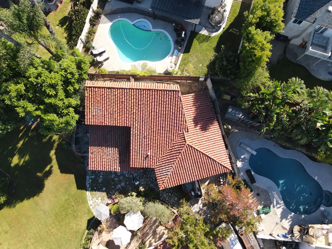
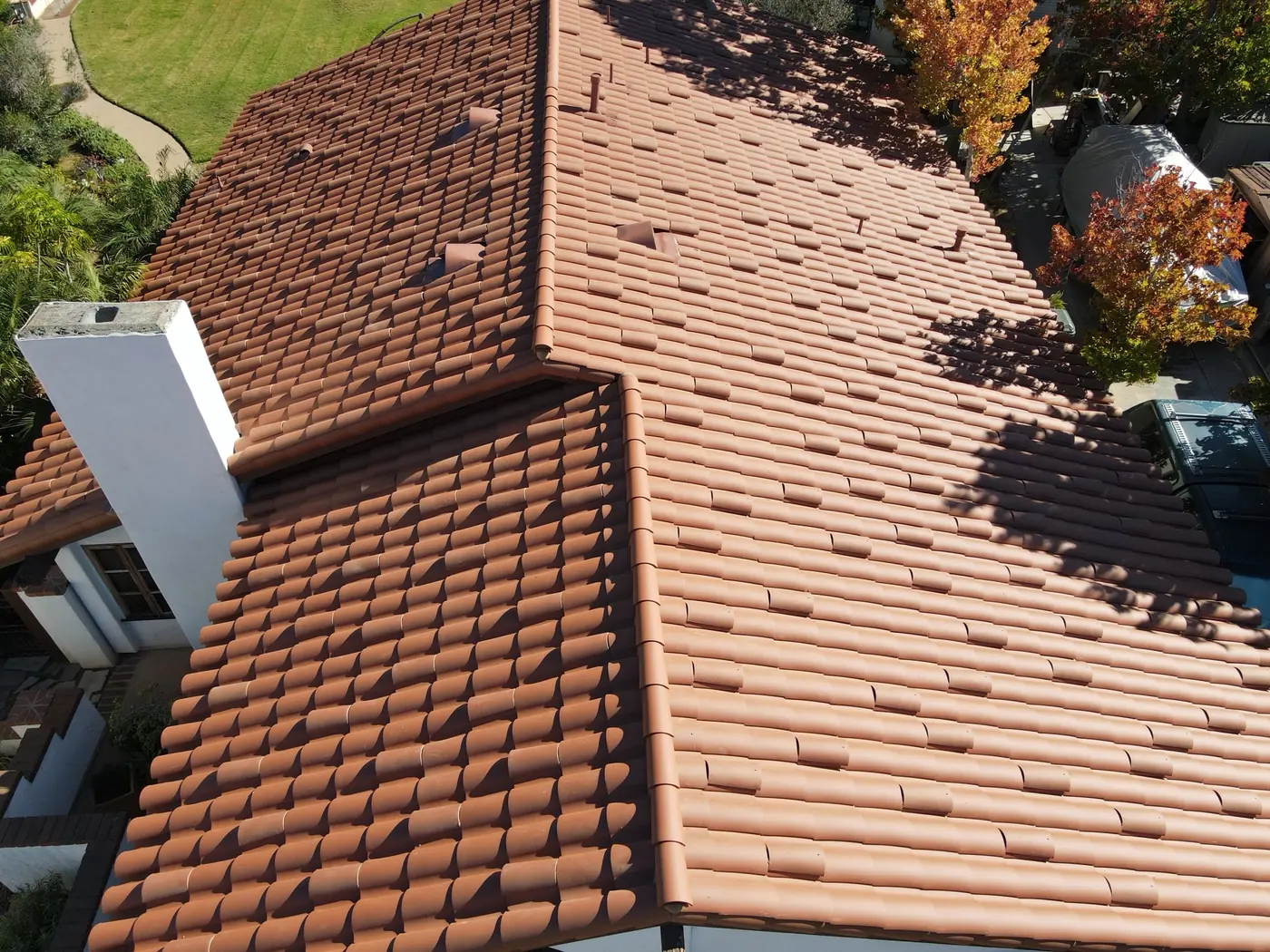
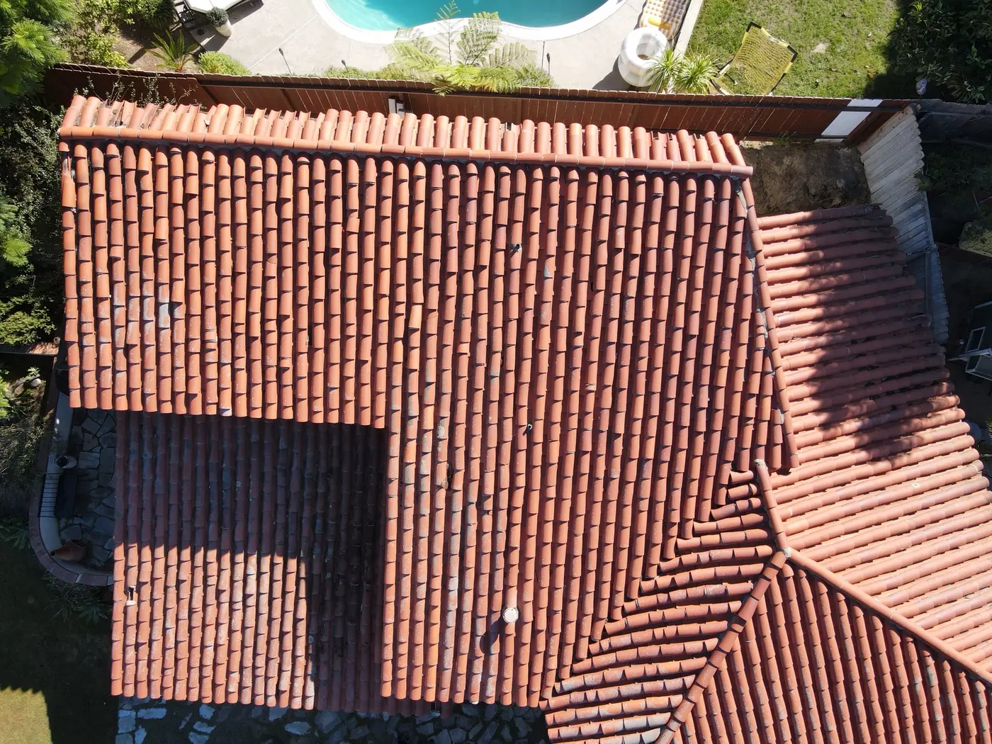
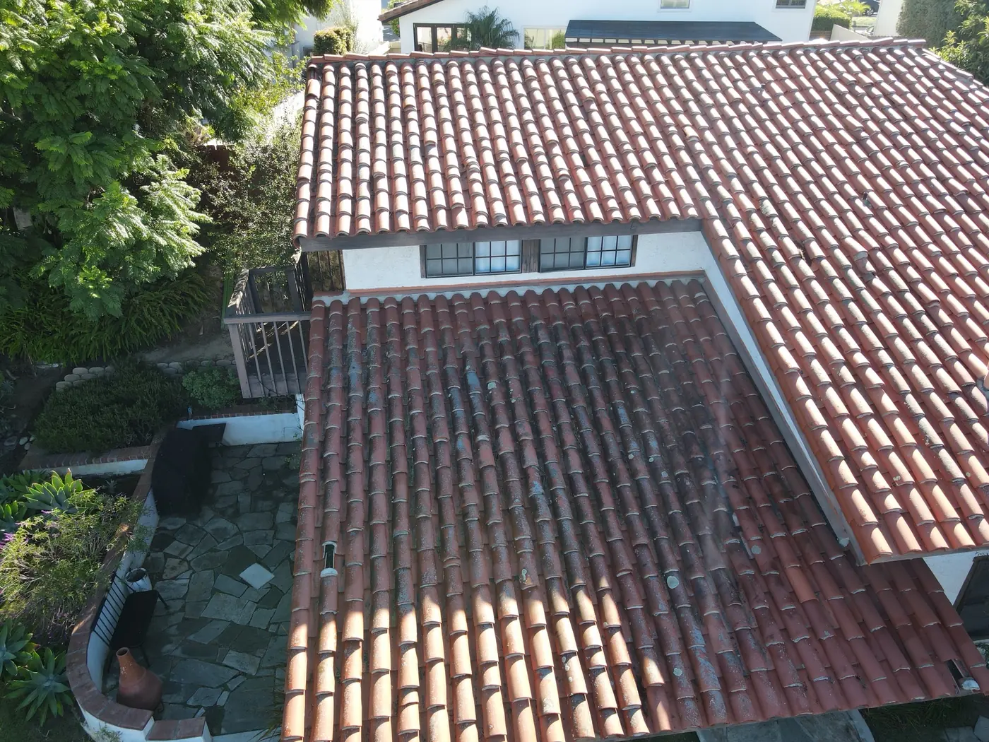
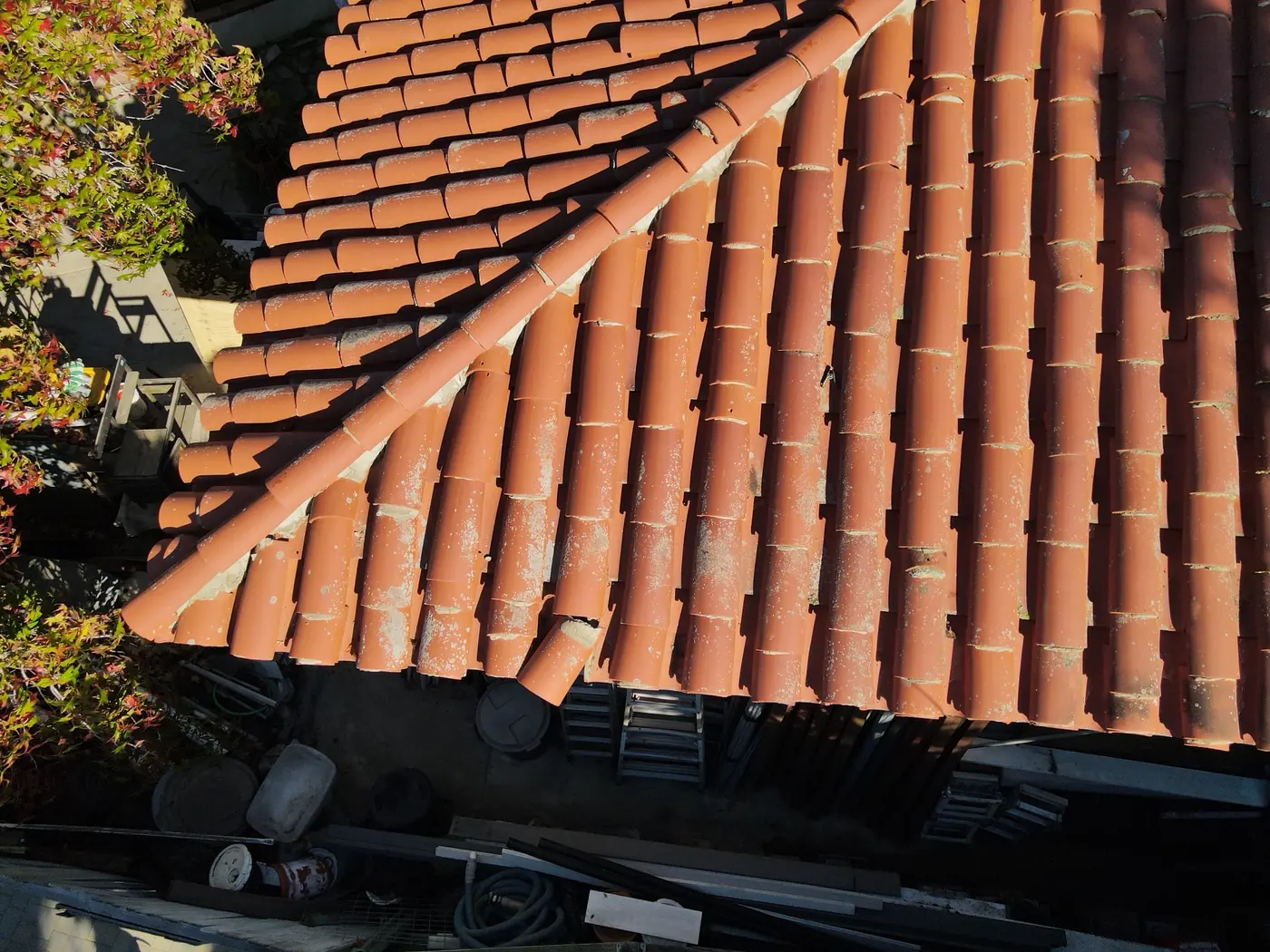
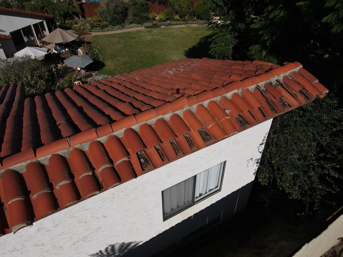
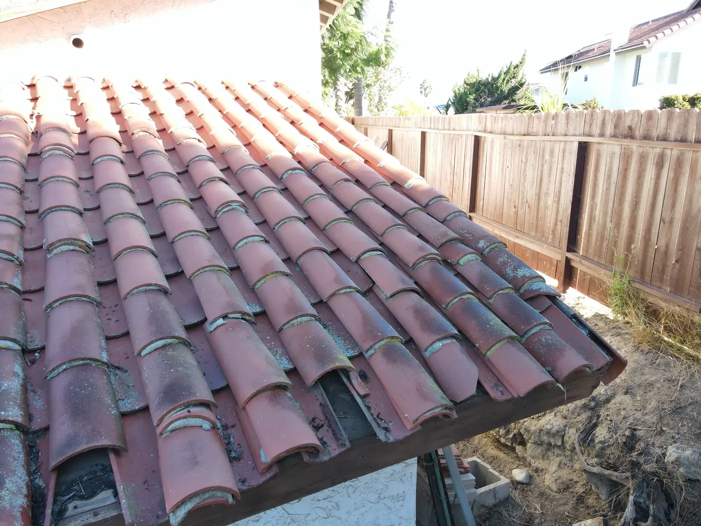
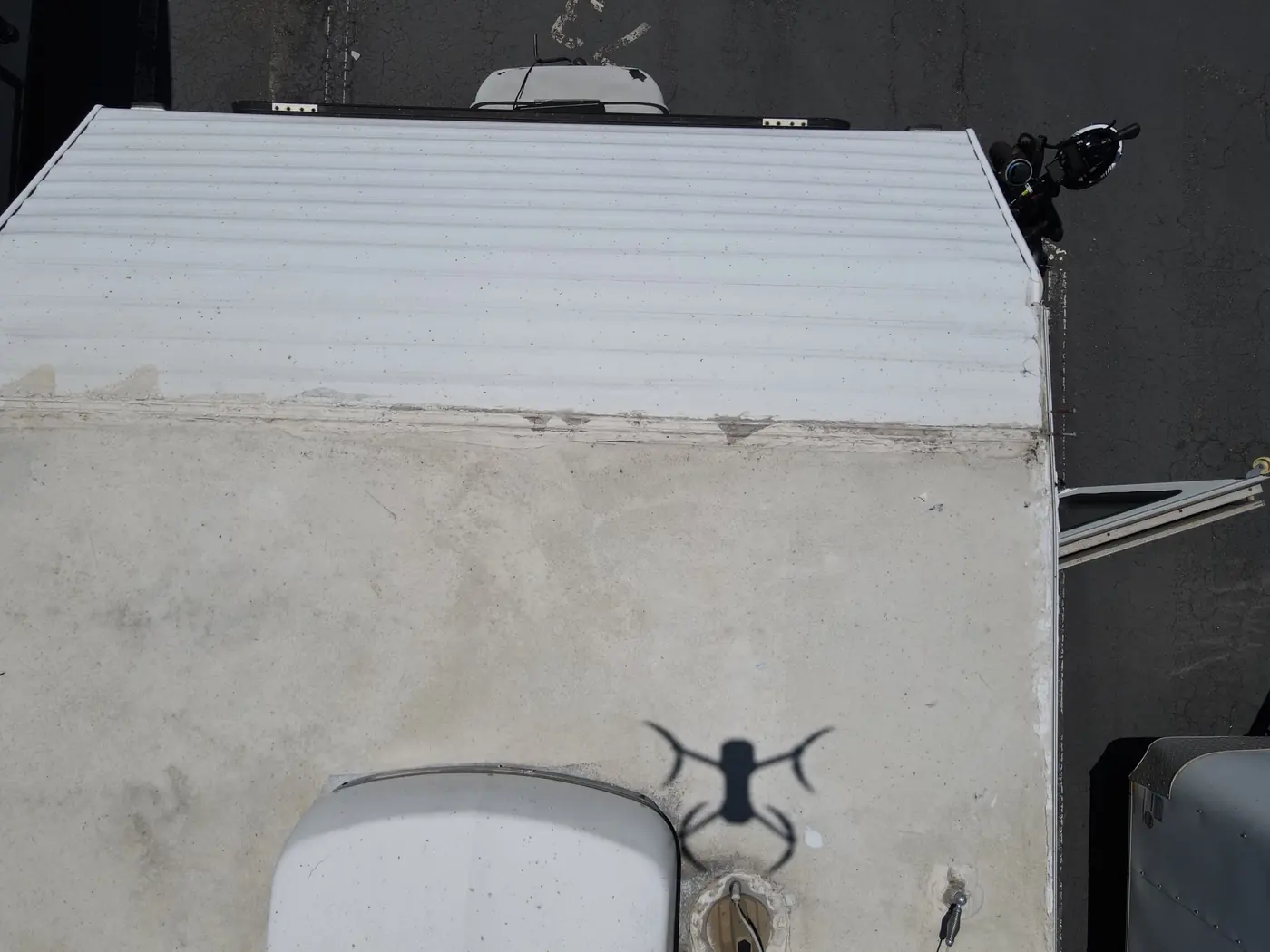
We capture detailed aerial photos and video of your roof so you, your roofer, or your insurance company can see its condition:
Overhead UAS is not a licensed roof inspector. Our images are visual documentation only and do not replace an inspection by a licensed professional.
Our surveillance and security services support:
All operations follow applicable laws, airspace requirements, and privacy guidelines.
High-resolution, stitched aerial maps give you a complete top-down view for:
Our orthomosaic maps are intended for visualization and planning purposes. Overhead UAS is not a licensed land surveyor and does not provide certified land surveys.
Overhead UAS is committed to providing safe, efficient, and high quality results in both missions and customer relations.
Established in 2018, Overhead UAS began when two passionate young drone pilots turned their love of flight into a mission: delivering stunning, high-quality aerial photography, videography, mapping, surveillance, and security solutions for every need.
We work with homeowners, real estate agents, businesses, property managers, and real estate companies. Let us help you capture, monitor, and showcase your property or event from a whole new perspective.
"We are passionate about flying and committed to delivering dependable, creative, and high-quality results."
Tell us about your property, project, or event and we'll get back to you with options and a quote. All flights are flown by FAA-certified pilots and covered by insurance.
We look forward to hearing from you.Respectfully, the Overhead UAS team